ROBOTICIST & FOUNDER
I deploy robots in underground mines, caves, and lava tubes: GPS-denied environments that push autonomy to its limits.
Field robotics engineer. Most of my last five years went into making drones and legged robots useful underground, first as research and now as the foundation of a company taking shape around it.
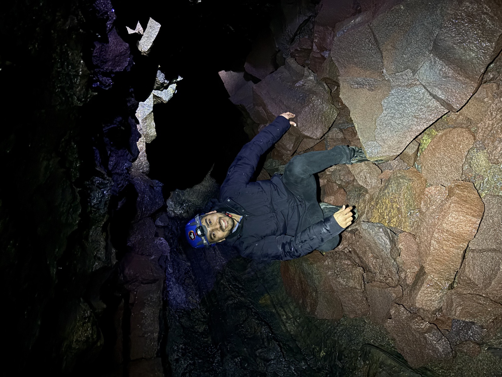
FIELD HIGHLIGHT
A lava tube in Iceland, mapped by a robot on its own
The project I keep coming back to. Our drone flew into a natural lava tube, explored it entirely on its own, and came back with the map.
Over a kilometre of tunnel mapped across the campaign. The footage shows the flight in and the 3D reconstruction the robot brought back. As far as we know, this was the first fully autonomous exploration of a natural lava tube. Lava tubes also matter beyond Earth: they are the closest analog we have to the caves waiting under the surface of the Moon and Mars.
- LOCATION
- Lava tube, Iceland
- MAPPED
- 1+ km of tunnel, fully autonomous
- ONBOARD
- No GPS · no comms link · no pilot
What we're building now
early stage · founder
Years of field research have brought this autonomy to a TRL where it can carry real work. We are shaping it into a solution built to raise both the safety and the efficiency of industrial operations: robots take on the hazardous, repetitive rounds so people never have to. The focus now is commercialization, solving real challenges for the industries that need it most. The company will be introduced properly once it is ready.
THE LONG ARC
Grounded in years of peer-reviewed research and proven in operating mines. Safer workplaces are the first stop; the same autonomy is a stepping stone toward planetary exploration.
FIELD RECORD
Work in the field
A record of field campaigns, each one run in a real environment rather than a simulator.
- msn-001Field-provenpinned
First autonomous lava-tube exploration
Lava tube, Iceland · Field campaign
Fully autonomous aerial exploration and mapping of a natural lava tube. More than 1 km explored on a single mission architecture, no GPS and no pilot.
- msn-002Field-proven
Post-collapse rockfall assessment
Iron-ore mine, Northern Sweden · Field campaign
Autonomous mapping and inspection of rockfall zones after a roof collapse in an operating iron-ore mine, producing a clear survey of the affected area.
- msn-003Field-proven
Autonomous vertical shaft inspection
Vertical mine shaft · NexGen SIMS
Full autonomy in vertical shaft exploration with high-fidelity 3D reconstruction in real underground conditions.
- msn-004Field-proven
Post-blast gas-measurement missions
Underground mines · Journal work
Autonomous post-blast gas-measurement runs in underground mines, letting crews re-enter on data rather than on a fixed clock.
- msn-005Field-proven
Underground exploration & waypoint trials
Nordic mines, potash operations · Multi-year
Years of underground exploration and waypoint-navigation trials with Nordic mining companies, a mining-equipment manufacturer, and a European potash operator across EU- and industry-funded projects.
Software & open source
The planners, mappers, and frameworks behind the deployments. Some are mine, some are group work I contributed to, and all are ROS-based and tested in the field.
RUNS ON
WORKS WITH
Grounded in published research
This work builds on peer-reviewed research: planners, mappers, and estimators published at T-RO, ICRA, and IROS.
Open to mines, investors, and collaborators
If you run underground operations, invest in hard tech, or want to work on field robotics together, I'd be glad to talk.